
The week leading up to our trip out west I flew up to New Jersey to get ready and get gear together with Dash. Unfortunately, that week I also developed a massive head cold. I couldn’t even see straight. But we had plane tickets and we were going west.
Dash and I got on our plane in Newark New Jersey headed for Albuquerque. I fell asleep rather quickly as I had just taken a ton of cold medicine. But Dash woke me up to an announcement coming over the intercom. We had run into tremendous thunderstorms over Texas and had to land in Dallas. We then spent the next four hours trying to find a flight that wasn’t completely booked and was allowed to take off to get us to Albuquerque. Finally, at nearly 1 in the morning we were back on the plane and ready to take off. The flight from Dallas to Albuquerque isn’t long but when you’re not feeling well and it’s 1:30 in the morning it’s not an easy flight. I’m not even sure what time we land in Albuquerque. It’s still kind of a blur. We got off the plane, we got our massive hiking bags, and we grabbed a rental car. Originally we hadn’t planned on staying in Albuquerque but it was the middle of the night and our choices were pretty limited. So we grabbed a hotel near the airport and tried to get a little bit of sleep before we had to get on the road in the morning.
Luckily our bodies and brains were still operating in Eastern Time so when we woke up it was pretty early. But we had a five-hour drive ahead of us and we’re hoping to be able to climb Back Mesa today. The drive through New Mexico to the eastern tip of Oklahoma is boring at best so we put on some music and just kept driving and driving and driving…
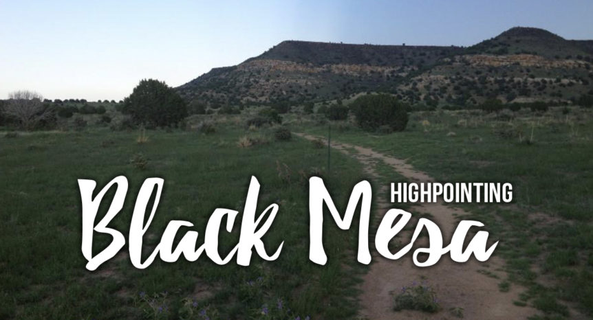
We arrived at the wrought iron gate at the base of the Mesa around 2 PM. The first thing we did was double-check the weather forecast. The skies looked clear but we had heard about the storms coming up pretty quickly and the trail is entirely exposed from start to finish. It looked like the radar was all clear so we got started on the 4.25-mile trail to the summit. It was dry and hot but we had brought along a lot of water and the trail wasn’t technically difficult.
The first 2 1/2 miles are nearly flat, before about a half-mile steep climb to the top of the Mesa where it flattens back out again. We made it to the summit and its surprisingly large monolith marker in less than an hour and a half. Once we’d made it up we took some time to sign the register, have a snack, and take in the view. It wasn’t long before clouds started forming along the horizon and we knew it was time for us to head back down. We got off the mesa even faster than we’d gone up and we were back in the car and ready to go by about 5 pm.
Next up was Mount Sunflower in Kansas, so we headed north and danced up Colorado’s eastern border. The drive was nearly four hours so after sunset, we found a motel attached to a retro diner and pulled into the parking lot. The reviews said check-in was in the diner so Dash headed in to get us a room. While he was inside I sat in the Prius listening as a group of cows surrounding the car with their mooing. And that’s how the end of the first full day of this highpointing adventure came to a close: in a parking lot of cows.
Be sure to check out the videos from all our highpointing adventures on the Renegade Roaming YouTube Channel