
We had been traveling for a few days and had to get back to New Jersey that night, but Rhode Island was on the way south (sort of) and it would be much easier to cross this highpoint off the list now rather than making a separate trip to Rhode Island another time.
The only problem was as we headed south along I-395 out of Massachusetts the day was fading away. Jerimoth Hill has restrictions on when you can visit and there are even reports of the property owners shooting at folks who tried to visit after hours! We painstakingly watched the time tick as we sat in traffic that seemed to never end.
This morning we had been on the summit of Greylock in northwestern Massachusetts, the day before we had eaten an early lunch on the South Slope of Mount Frissell, Connecticut’s highest point.
For Mount Frissel we took the “”standard route.”” Navigating our way down a gravel road to the AMC parking lot along the border of Massachusetts and Connecticut. Once we were able to actually determine which trail on the other side of the road was the right one we made quick work of the just over two-mile round trip trail. We tacked on a little extra distance when we got turned around and ended up on the summit of Round Mountain, but eventually, we found our way to the summit of Mount Frissell and then on around to the marker on the Southern Slope designating Connecticut’s highest point. Interestingly enough, there are only two other states whose highpoints are the highest point in the state but not technically the summit of the hill or mountain! (Do know which two the other ones are??)
After signing the register we headed back to the car and north into Massachusetts. We didn’t make it far before we decided to pop into Bash Bish Falls State Park. Adrenaline flowing from the climby-bits of the Mount Frissell Trail, we half-climbed-half-slid down to the top of the falls and hopped around the boulders. If you are ever in that area we definitely recommend the falls… whether viewed from the top or the bottom, they are stunning!
It was midday by the time we finished horsing around at the falls, so we headed north. Along the way, we happened upon a place called The Circle Museum: a property just along Highway 22 filled with all sorts of metallic sculptures. Then it was on to the town of New Lebanon, New York where we found a diner to grab some much-needed sustenance from. Bellies fed, we continued north. Around 4 pm we found ourselves parked at the end of Hopper Road, readying our packs. This was my first time hiking with a full pack and for a single overnight I had gone a little overboard – my pack weighing in at a hefty 57 pounds. But we didn’t know any better, so we shouldered the weight and headed up the steep but stunning Hopper Trail.
The trail was built in 1830 by Williams students as a horse trail to the summit of Greylock. The trail was in pretty good condition, although we did come across a couple of downed trees, the second of which I lay down on and rolled over as my thighs trembled under the weight of my gear. Just over three miles and about three hours later we arrived at Sperry Road Campground, our home for the night. We hurried to set up the tent before the sunset and then got a fire started. We cooked and ate our weight in hotdogs and beans before climbing into bed.
The next morning we got a climber’s start (read as we woke up insanely early) to try to catch the sunrise at the top. The Hopper trail met up with the Appalachian trail and zigged and zagged its way up to a huge monument on the summit. After a couple of required highpoint photos we plopped ourselves down on the eastern slope, pulled out some snacks, and watched as the sun greeted us over the horizon. We could’ve sat there peacefully all day, but we had to get back to the campground, pack out and get back to the car. There were a lot of miles between us and Jerimoth Hill and we hoped we could make it before it “”closed”” at 6 pm.
So now as we began breaking free of the traffic on the highway, we wondered if maybe we should’ve scheduled an extra day for this trip. We were both exhausted from the hiking and waking up so early and it seemed like we might not even make it anyway!
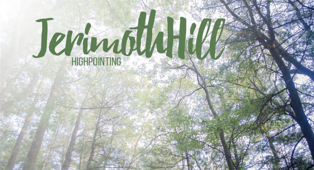
Finally, we pulled off of I-395 onto the 101. With only 15 minutes left we had 6 miles to where we would hastily pull over on the side of the road and sprint 200 yards into the woods of Rhode Island to the large rock that marks the summit. The highpoint area is attractive, as is this part of Rhode Island, with lakes and verdant trees along the road. And for just a moment, we leaned back, looked up as the summer’s evening light shone through the treetops, and exhaled.
These were highpoints #5, 6, and 7 for me. So I guess this a thing now?”